
Drone Survey Services
Our drone surveys deliver fast, accurate, and cost-effective mapping solutions. High-resolution data supports construction, mining, and agriculture projects with precision and efficiency.
Services List
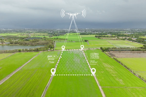
1. Aerial Mapping
Capture detailed aerial imagery to generate accurate maps for planning, monitoring, and reporting.
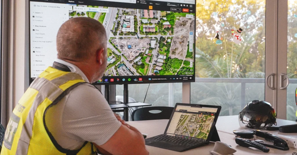
2. Land Survey
Drone-assisted surveys provide precise measurements and boundaries efficiently.
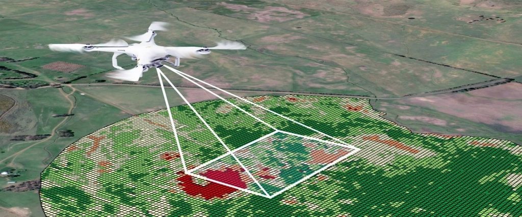
3. Site Monitoring
Frequent monitoring helps track project progress and identify potential issues early.
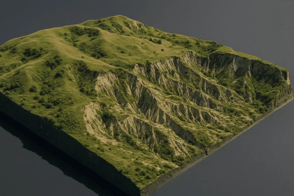
4. 3D Modeling
Create realistic 3D models from aerial data for planning, visualization, and presentations.
5. Inspection Services
Safe, detailed inspection of structures and landscapes without manual intervention.


After more than twenty years of success in the wood products industry, the Bilder family founded its capital venture in 2009 investing in real estate in the western United States capital.
Why Choose Us
- High-Resolution, Accurate Data
- Fast and Cost-Effective
- Advanced Drone Technology
- Experienced Survey Team
- Real-Time Monitoring
- Safe & Reliable Operations