


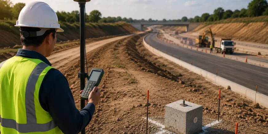
DGPS Survey Services
We provide DGPS surveys for accurate positioning, mapping, and project layout. Our services ensure precise data collection, supporting construction, infrastructure, and land development projects.
Services List
1. Land Surveying
Precise surveys for property, construction, and infrastructure projects. Accurate measurements prevent errors and disputes.
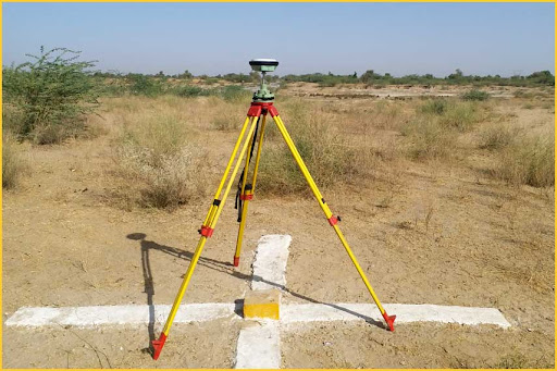
2. Control Point Establishment
Set accurate reference points to maintain consistency in all project measurements.
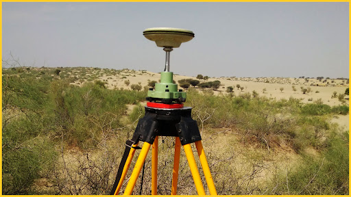
3. Mapping & Layout
Generate detailed maps and layouts for design, planning, and execution.
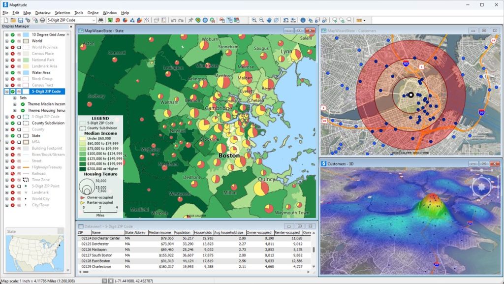
4. Data Collection
Efficient geospatial data collection for analysis, reporting, and decision-making.
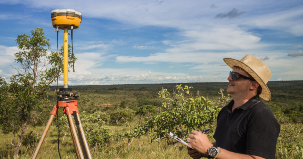
5. Boundary Survey
Precise marking and measurement of property boundaries for legal and project planning purposes.
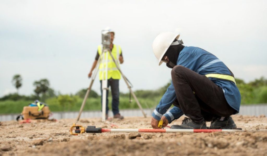

We provide high-accuracy DGPS survey services for precise positioning, mapping, and land measurement. Using advanced GPS technology, we deliver reliable geospatial data for construction, infrastructure, engineering, and land development projects.
Why Choose Us
- High Accuracy & Reliability
- Advanced DGPS Equipment
- Experienced Survey Team
- Timely Data Delivery
- Cost-Effective Solutions
- Professional & Safe Operations